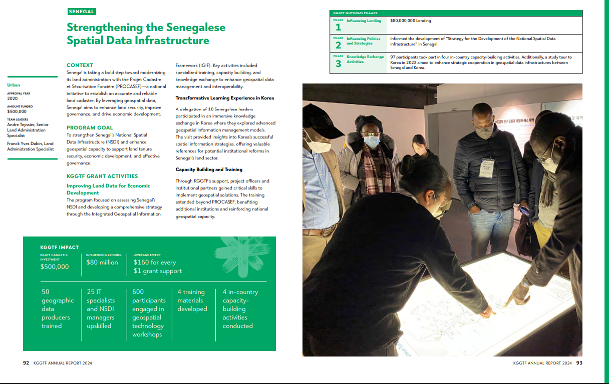
Senegal is taking a bold step toward modernizing its land administration with the Projet Cadastre et Sécurisation Foncière (PROCASEF)—a national initiative to establish an accurate and reliable land cadastre. By leveraging geospatial data, Senegal aims to enhance land security, improve governance, and drive economic development.
Through KGGTF’s support, project officers and institutional partners gained critical skills to implement geospatial solutions. The training extended beyond PROCASEF, benefiting additional institutions and reinforcing national geospatial capacity.
Grant: Strengthening the Senegalese Spatial Data Infrastructure
Grant Year: Year 8 (2020)
TTLs: Andre Teyssier, Senior Land Administration Specialist and Franck Yves Dabin, Land Administration Specialist
This grant spotlight is excerpted from the 2024 KGGTF Annual Report (Download here)